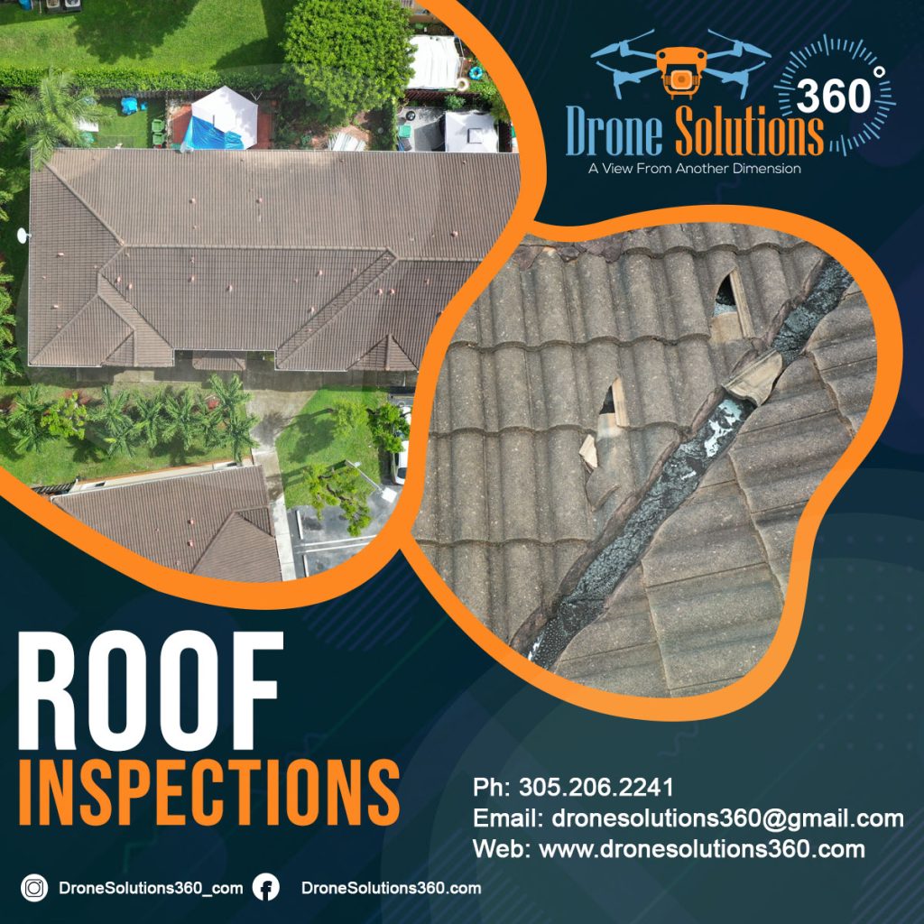
Introduction
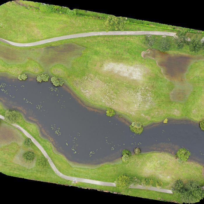
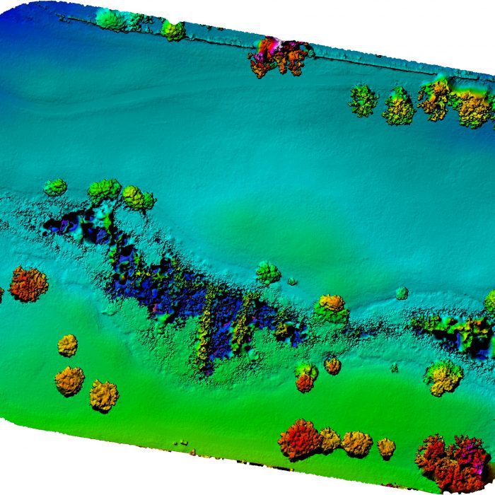
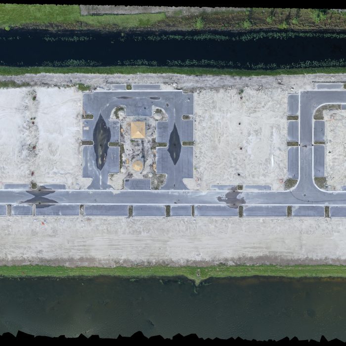
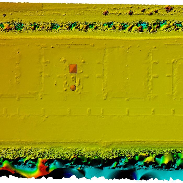
Surveying has become more efficient with drone technology.
Benefits
- High accuracy
- Faster data collection
- Cost savings
- Better planning
Applications
- Land surveying
- Mapping
- Urban planning
Conclusion
Drone mapping is the future of surveying.